Gaustatoppen on foot
Hiking at Gaustatoppen
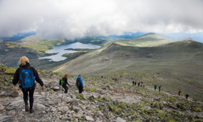
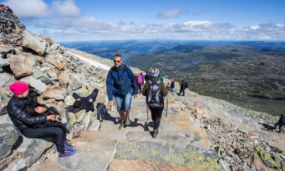
Gaustatoppen is easily accessible and simple to climb if you're used to hiking in the mountains. For over 200 years, the mountain summit has attracted happy wanderers, and it's easy to understand why when you get to the top: There is no other place else in the country where you can enjoy your food pack with a view of one sixth of mainland Norway.
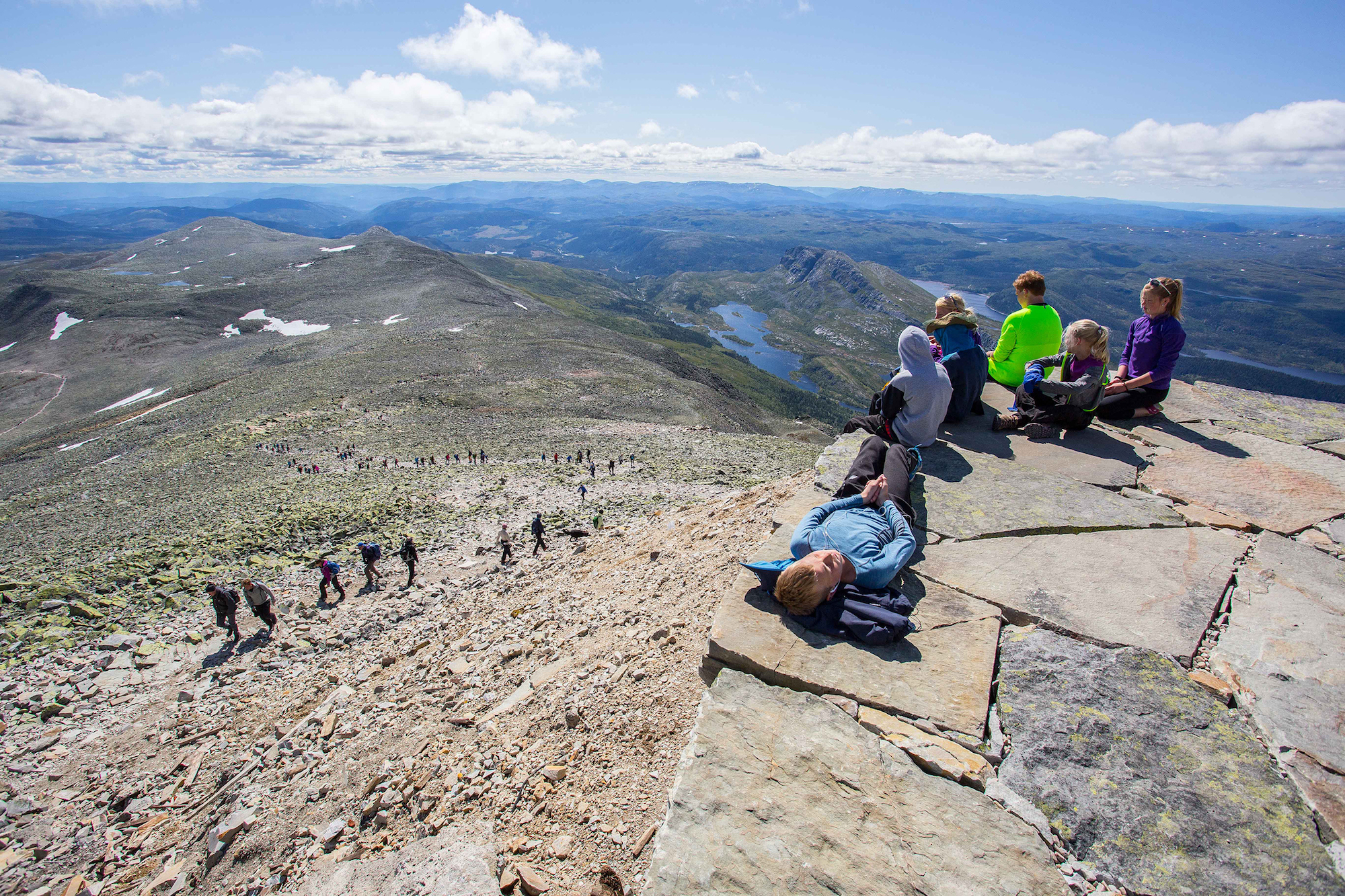
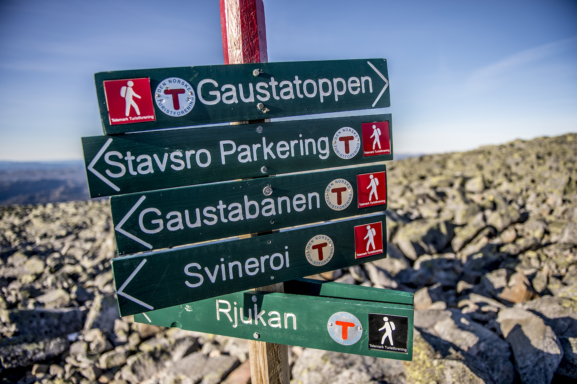
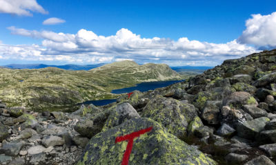
The most common routes up to the top are from Svineroi, Stavsro and Selstali, but you can also hike the long route all the way from Rjukan as they did in the old days. All the routes are well-marked with the red Ts of the Norwegian Trekking Association (DNT).
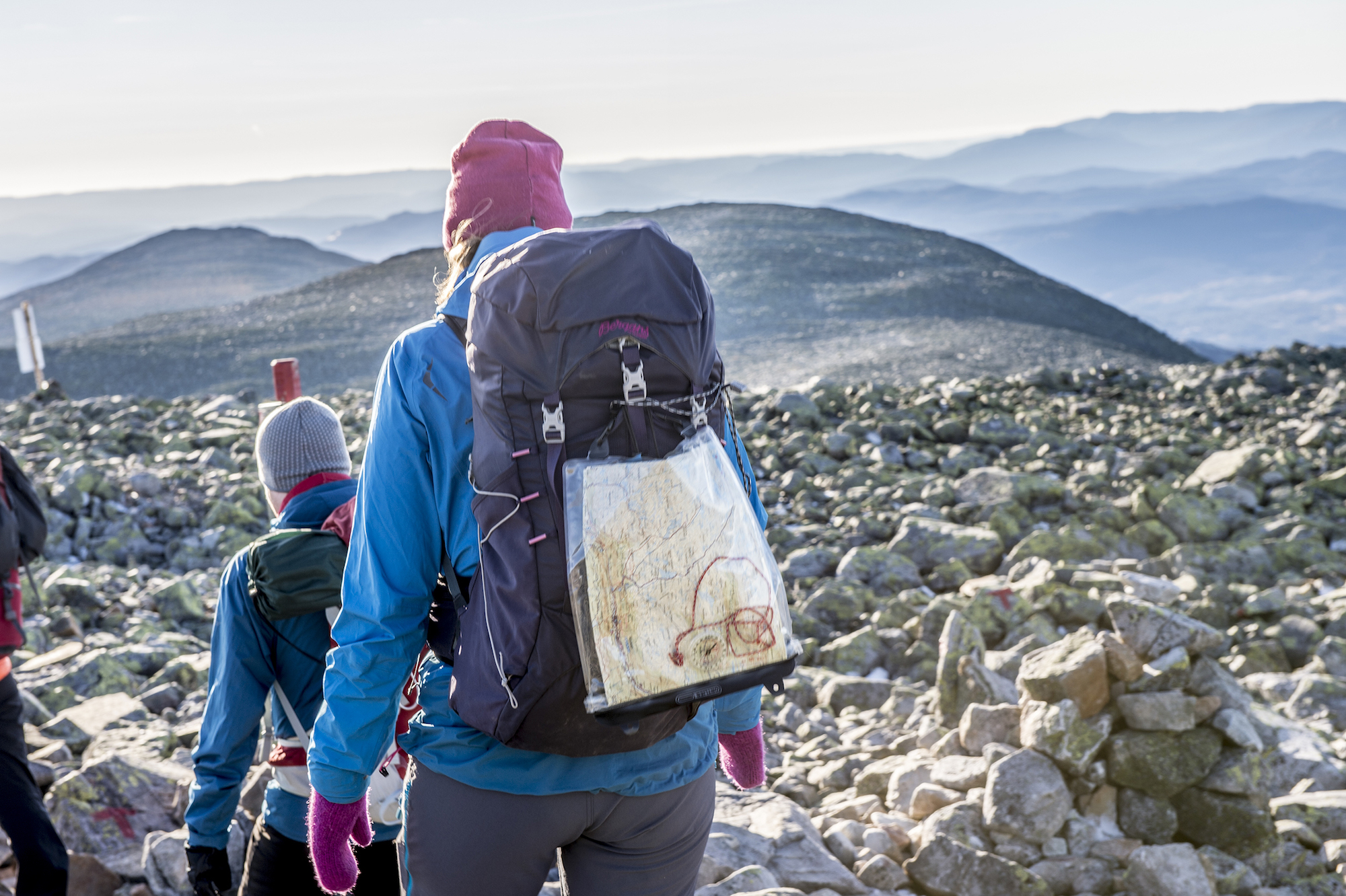
No matter which option you choose, remember that the weather in the mountains changes quickly. Gaustatoppen can take you by surprise with fog, harsh weather and high winds, and you must always bring windproof clothing, a hat and mittens, a warm and dry change of clothes, and not least a map and compass. Gaustatoppen consists of a lot of rocks, so please don't set off without good hiking boots on your feet.
Mountain Safety Rules
1. Plan your trip and inform someone where you will be hiking.
2. Adapt the route based on your ability and the prevailing conditions.
3. Be cautious with regard to the weather forecast and avalanche warnings.
4. Be prepared for rough weather and the cold, even on short trips.
5. Bring the necessary equipment so that you can help yourself and others.
6. Make safe choices regarding your hiking route. Identify and recognize terrain that is prone to landslides/avalanches and unsafe ice.
7. Use a map and compass. Be sure to always know where you are.
8. Turn back in plenty of time; there is no shame in turning around.
9. Save your strength and seek shelter if necessary.
Source: Ut.no
Four trips to the top
Are you unsure about which route to hike? Here are the four routes which the DNT Telemark recommends for getting to the top, and which will all provide you with a memorable day in the mountains:
1
Stavsro
Hike one way: approximately 3 hours
Level of difficulty: Medium
It's easiest to get to Gaustatoppen from the county coad no. 651 between Tuddal and Rjukan.
If you leave from the parking lot at Stavsro by Heddersvatn Lake at a normal pace, it will take three hours up and two hours back down. The trail is well marked, but there are a lot of rocks and it's steep at the end. The difference in elevation along this route is about 700 metres. Nice summit trip suitable for families who are used to walking in the mountains.
2
Svineroi
Hike one way: approximately 2 hours
Level of difficulty: Medium
If you park at Svineroi or Langefonn along county road no. 651, you can hike along the waymarked trail from the defunct Svineroi pasture. The first part of the trip is a steep ascent toward Gausteråen before you meet the hiking trail from Stavsro. The trip is about three kilometres one way, and with a difference in elevation of about 850 metres, you can expect around a two-hour hike up to the top. Nice summit trip that's suitable for families used to hiking.
If you parked your car near the Gaustabanen tramway, you should take the trail to Svineroi on the way down from the top. Follow the signs towards the tramway when you get to Langefonnstippen. From here, it's around 350 metres to the parking lot.
3
Selstali
Hike one way: approximately 5 hours
Level of difficulty: Demanding
This is a demanding trip which contains very steep terrain in some sections. Hike from Selstali to the northeast end of Selstalitjønn Pond, and then southeast into the Gausdal Valley to Aslakstaulvatn Lake. The trail continues up through the steep rockwork eastward to the hiking trail to Stavsro. From here, follow the trail up to the top. This is a great hike that starts in beautiful wooded terrain, and which continues up above the tree line to magnificent views of large parts of Norway. The trip is suitable for families who are used to hiking in the mountains.
4
Rjukan
Hike one way: approximately 7 hours or 8.5 hours
Level of difficulty: Demanding
With a difference in elevation of 1,600 metres from Rjukan to Gaustatoppen, this is a great hike for very fit hikers. The first two hours from the Rjukan railway station ascend steeply along a waymarked trail up to the trail crossing at Lislestaul. Here, you have two options:
If you choose the western side of Gaustatoppen Mountain, you will go into Gausdal Valley via Selstali and along Aslakstaulvatnet Lake. From here, you continue through the pass toward Gaustaråen and up to the trail toward Stavsro. Then follow the trail markings to the top. This trip takes seven hours.
The other option is to hike on the east side of the summit via Svineroi. You must allow 8.5 hours for this trip.
Both routes from Rjukan to the summit on Gaustatoppen are demanding. If you choose not to go to the summit at the trail crossing to Stavsro, the two routes make up a part of the round-trip around Gaustatoppen mountain. The highlight of the trip is nevertheless the impressive mountain top. So, be sure to book overnight accommodation at the Gaustatoppen Tourist Lodge, and then you can take the tramway down or continue the trip on foot the next day.