From Svinroi to the top
Shortest route to the top. Some steeper in the start than the classic route from Stavsro, before the two trails meet. A good option is to hike one way and go by Gaustabanen the other way. The most common is to hike to the top, and go by Gaustabanen down again.
Hike one way: approximately 2 hours
Level of difficulty: Medium
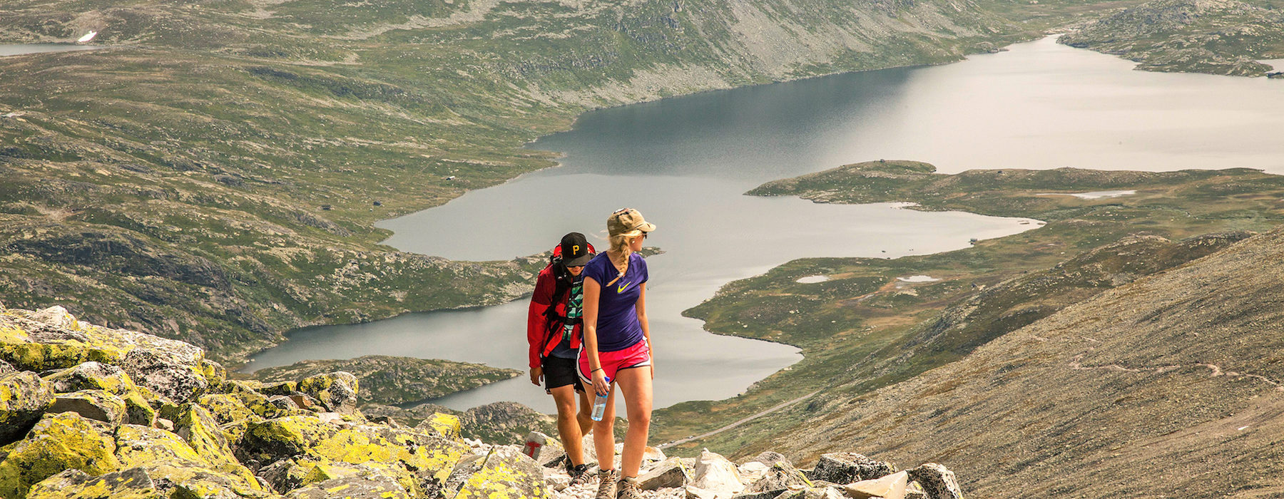
If you park at Svineroi or Langefonn along county road no. 651, you can hike along the waymarked trail from the defunct Svineroi pasture. The first part of the trip is a steep ascent toward Gausteråen before you meet the hiking trail from Stavsro. The trip is about three kilometres one way, and with a difference in elevation of about 850 metres, you can expect around a two-hour hike up to the top. Nice summit trip that's suitable for families used to hiking.
If you parked your car near the Gaustabanen tramway, you should take the trail to Svineroi on the way down from the top. Follow the signs towards the tramway when you get to Langefonnstippen. From here, it's around 350 metres to the parking lot.